Table of Contents Show
Sometimes the standard go-to road trips just aren’t enough. If you want an epic adventure that takes you off the well-beaten path, the Trans-America Trail might be calling your name. Today we’ll look at what just might be the ultimate cross country adventure.

What Is the Trans-America Trail?
The Trans-America Trail (sometimes called TAT) is a 4,253-mile off-road scenic route that takes travelers across the United States using the bare minimum of paved roads. Those journeying on the trail are doing so for leisure and not just to reach a destination.
Because the off-road terrain varies based on weather conditions and location, it’s not something you can do in a regular car. Most who ride the trail do so on dual-sport motorcycles or other off-road vehicles.
How did such an awesome trail-riding experience come into existence? Sam Correro first scouted out this adventurous trail in 1984. It took him 12 years to put together the route. He made sure the current course is legal and mapped it out with primarily public roads. You’ll have to cross a few private lands, but Sam gets express permission from landowners before adding these sections to the official map.
You can ride the TAT using a combination of GPS tracks, roll charts, and maps. Request the route through the Trans-America Trail website, and Sam will ship the maps, roll charts, and GPS coordinates to your door. You can request the entire trans-America route or a section of it.
Even if you’ve traveled the TAT before, always get the most up-to-date coordinates from Sam in case there are updates to where you can legally travel.
What Is the Main Route on the Trans-America Trail?
The original Trans-America Trail starts in West Virginia before making its way through Tennessee, Mississippi, Arkansas, Oklahoma, New Mexico, Colorado, Utah, and Idaho before finishing on the Oregon coast. You’ll pass through many other states on your way as well.
The community modified the original route to provide alternative routing to allow travelers to begin in New York and North Carolina and finish in Oregon and California. After traveling west and reaching Oregon, you could continue east and end up in Wisconsin.

What Kinds of Roads Can You Expect on the Trans-America Trail?
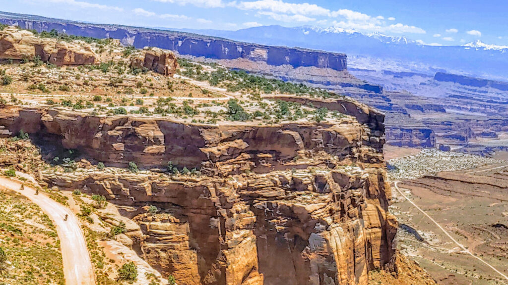
The roads on the Trans-America Trail take you off heavily trafficked main roads to lesser-traveled side roads. It uses minimal paved roads to get you places that those cruising the interstate usually pass by. The creators share that the route is a safe adventure through rural America. While the roads are passable, your vehicle should be able to navigate through various road conditions.
This trail isn’t for the faint of heart. While it can be an amazing journey, it’s a physical feat. Riding a dual-sport motorcycle over 200 miles of rough terrain for a single day is one thing, but doing it day after day can be grueling on the body.
Can Your RV Make the Trip?
With a road trip as epic as this, you might be wondering if you can complete the trek in your RV. Sadly, the answer is likely no. While the roads on this route are passable, it does take you over some rough terrain that would likely be too much for a standard RV. If you have a small RV or truck camper that’s overland capable, you could give it a shot.
Attempting to take a standard RV could damage the rig and, depending on the circumstances, can be dangerous. Some of the trail areas are remote, and it may take time before help could arrive should you get your RV stuck.
How Long Does It Take to Complete the Trans-America Trail?
The Trans-America Trail is 4,273 miles. Those averaging around 200 miles per day can complete the trail in its entirety in about three weeks. This time does not include the additional alternative start and end locations. It’s easy to take your time on the trail with so much to see!

The first stop of your trip should be at the official Trans-America Trail website. You’ll find all of the routing information you need here. You can purchase individual routes with detailed maps that ensure you get up-to-date routing information. They’ll keep you on public roads and off private property that you don’t have permission to cross.
These maps give you more than just directions. You’ll need to refuel, eat and sleep along the way, and the maps contain waypoints for these things. Some of the stops are even homes and businesses owned by people that want to help trail riders.
Have an issue while on your adventure? The map also features maintenance stops.
Should You Off-Road on the Trans-America Trail?
While much of the Trans-America Trail can be considered off-road, you must stay on the trail and have a good GPS. Going off course could lead you onto private land, which is not permissible. In addition to possible trespassing, going off route could quickly get you lost.
If an area of the route is blocked or becomes impassable, consult with GPS to find a safe and legal alternative route that will lead you back onto the trail.
While it might not be for everyone, the rugged trail is unforgettable. If you were to make this journey, do you think you’d rather do it in solitude or tackle it with a friend?


