Table of Contents Show
Do you want to visit all 63 National Parks?
But where can you get a list of National Parks without sifting through the National Park Service website? Is it challenging to check off this bucket list item?
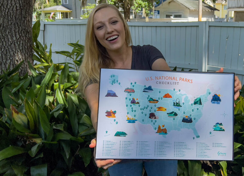
There is good news! We have a free printable map of National Parks you can download to help you plan your adventures.
Let’s dive in!
How Many National Parks Are in the US?
There are 63 National Parks in the United States.
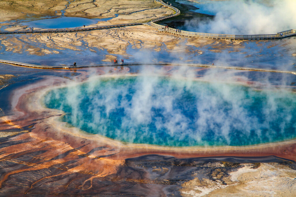
In 1872, Yellowstone became America’s first National Park.
However, it wasn’t until 1916 that President Wilson signed a bill establishing the National Park Service to manage these national treasures.
The most recent addition is the New River Gorge National Park and Preserve in West Virginia.
The government redesignated it in 2021 from a National River to a National Park and Preserve.
Today there are 19 naming designations, from National Recreation Area to National Battlefield and National Seashore.
The designation with the most sites is National Monument, which includes Devil’s Tower in Wyoming, the Statue of Liberty in New York and New Jersey, and Craters of the Moon in Idaho.
There are 73 National Historic Sites, 62 National Historical Parks, and 31 National Memorials with dozens of other protected sites.
Which US State Has the Most National Parks?
California and Alaska have the most National Parks.
California has 28 National Park sites and over 28 million visitors yearly.
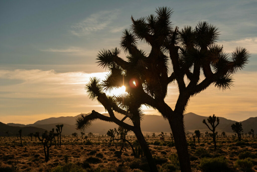
Of those 28 sites, eight are National Parks, extending from Redwood National Park in the north to Joshua Tree National Park in the south.
Alaska has 23 National Park sites but only 406,000 visitors yearly.
Of those 23 sites, eight are National Parks.
Is There a List of National Parks?
The National Park Service has this interactive state map where you can search for national parks in individual states.
This is especially helpful when trip planning or looking for locations near you.
Why Are Maps of National Parks so Popular?
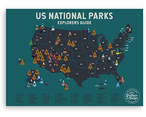
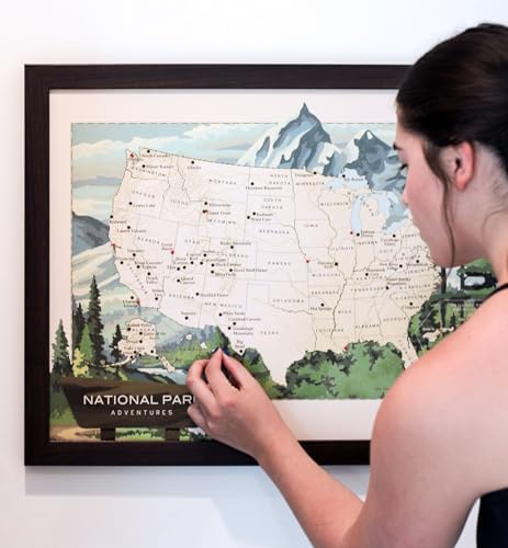
Like sticker maps of the United States are popular with RVers, so are the National Parks maps.
Some are scratch-offs, stickers, or checklists, but they all have the same appeal.
Travelers love to track where they’ve been and look forward to where they’re going.
They’re excellent conversation starters with other campers. As you walk around a campground, you tend to notice these maps, and you start comparing notes. When you post it inside your RV or home, it’s a motivator to travel.
It’s exciting to see where you’ve been and recall the beautiful memories. It’s just as exciting to plan where you’ll go next. This is why the free map is such a fun idea. Print it out, hang it up, and be inspired!
Keep in Mind: Have You Driven the Most Dangerous Highway in the US? Click the link to find out!
Get Your Own Free Map of National Parks to Track Your Adventures
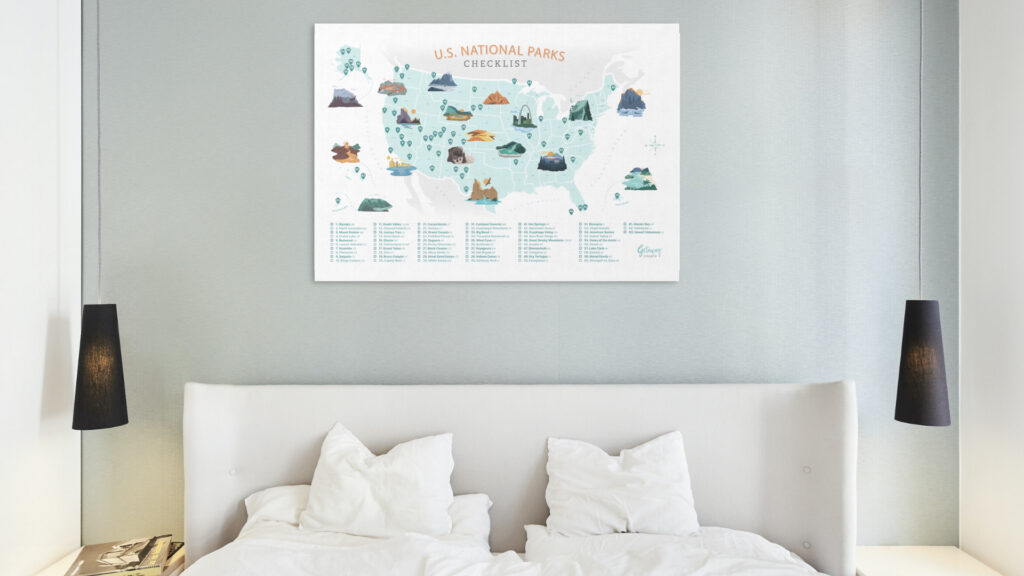
Join our mailing list and download our free U.S. National Parks Poster and checklist to track your adventures!
When you enter your e-mail, you will immediately receive a link to confirm your email address.
Once you click the link, you’ll have access to the free map of National Parks to download and print. All 63 National Parks are present.
Can You Visit All of the National Parks on the Map?
If your goal is to visit every National Park, it will take some time.
They’re spread out and include locations in the Virgin Islands and American Samoa.
It can also be relatively challenging to get to the eight National Parks in Alaska due to their remoteness and weather conditions.
Often travelers will attempt to visit the 51 National Parks in the lower 48 first and then plan trips to Hawaii, Alaska, the Virgin Islands, and American Samoa.
However, it’s not impossible to visit all 63 locations.
You’ll have to plan according to the weather.
You don’t want to see the Gates of the Arctic National Park in January when it stays below freezing.
You also don’t want to travel to the Dry Tortugas National Park or the Everglades National Park during September, at the height of hurricane season.
Planning according to the weather will extend your travels for years.
How to Plan Your Trip to the National Parks
Start your planning by downloading the free map of National Parks.
Then decide where you want to go and what season you will travel.
When starting in January, you might head south to Florida or southern California.
If you start in May, head north to Montana, Michigan, or Maine.
If you travel during peak seasons, plan for crowds and traffic.
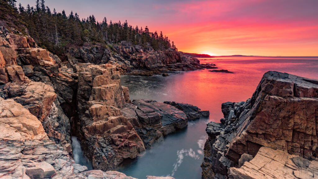
For example, Acadia National Park in Maine is very busy in July and August.
If you can visit shortly before or after peak season, you’ll experience more accessible parking and less crowded trails.
As you plan your route, consider the distance.
You don’t want to wear yourself out traveling, so keep long drives to a minimum and enjoy spending days at each park.
This will help with fatigue.
Pro Tip: While you’re marking off national parks to visit on your map, there are some you want to avoid in the summer. Take a look at the Worst National Parks for Summer Road Trips!
Get the Best Map of the US National Parks and Start Exploring
If you need the inspiration to hit the road to visit some national treasures, download the free map of National Parks by signing up for the email list.
The emails are informative and offer tips, tricks, and advice for RV travel. Every Friday, you’ll receive the newsletter from the Getaway Couple that details favorite RV products and news, with links to the previous week’s blog posts and YouTube videos.
The government protects America’s National Parks for a reason. Get out there and learn about ancient cultures, explore geological wonders, and marvel at the wildlife. Our country is stunning! What are you waiting for? Get the free map today and start planning!
Last update on 2025-01-19 / Affiliate links / Images from Amazon Product Advertising API
