Table of Contents Show
Have you ever looked at a map of Alaska and wondered why the southeastern border is so jagged? While the 141st meridian makes a clear boundary between Alaska and Canada, the mountainous region of the southeast isn’t so linear.
Today, we’ll examine why this is and the historical dispute over this important boundary line. Let’s dive in!
Where Is the Alaska-Canada Border?
A straight line separates Alaska from the Yukon Territory from north to south at the 141st meridian. It starts at the Beaufort Sea in the north and continues south through mostly wilderness until Eagle, Alaska, and the Little Gold Creek border crossing at the Top of the World Highway.
Then it continues south to the intersection at Highway 1 near Beaver Creek. It ends in the ice fields of southeastern Alaska near Mt. St. Elias, the second-highest peak in both the United States and Canada, at just over 18,000 feet.
Then the Alaska-Canada border shifts southeastward about 120 miles inland and follows a strange, jagged path that divides Alaska and British Columbia. The border ends at the tip of the Alaskan Panhandle near Wales Island, British Columbia.
How Long Is the Alaska-Canada Border?
The entire Alaska-Canada border travels over 1,500 miles. It begins at 69°39′N 141°0′W at the Beaufort Sea and ends at 60°19′N 141°0′W before veering off of the 141st meridian, following the St. Elias Mountains.
The majority of this border lies in untouched wilderness. Instead of established communities, this land is home to elk, moose, caribou, bears, and other wildlife.
Do You Need a Passport to Travel Between Alaska and Canada?
Alaska is the 49th U.S. state. Therefore, you must have a passport when traveling across the border between Alaska and Canada. Guests traveling by cruise ship or airplane from the Lower 48 to Alaska don’t require a passport. Roadtrippers will need one.
The Little Gold Creek border crossing is North America’s northernmost international border crossing. It sits along the Top of the World Highway, connecting Chicken, Alaska, to Dawson, Yukon.
The crossing at Beaver Creek is part of the Alaska Highway, and the crossing at Fraser is part of the Klondike Highway. Although there are a couple more, these are the most frequented border crossings between Alaska and Canada.
What Is the Alaskan Panhandle?
Alaska has over 6,600 miles of coastline. Of this, approximately 500 miles lie along the Alaskan Panhandle. Yakutat sits north of Glacier Bay National Park, and Ketchikan sits at the southern end of the panhandle.
This southeastern part of the state is only about 120 miles wide. Much of this area is wilderness, with 77% of the panhandle covered in the 17-million-acre Tongass National Forest.
The Inside Passage frequently welcomes cruise ships, boat tours, and ferries traveling the Alaska Marine Highway System. Skagway sits at the north end of this part of the panhandle.
The most populous city in this region is Juneau, the state’s capital, with about 31,000 residents. Other towns include Ketchikan, Sitka, Haines, Petersburg, and Wrangell.
Gustavus, the gateway to Glacier Bay National Park and Preserve, sits at the northern end of the Inside Passage. Although not many people live here, the town sees thousands of visitors.
What Was the Dispute Over the Alaska-Canada Border?
The Alaskan Purchase in 1867 formally transferred Alaska from Russia to the United States. This $7.2 million purchase added over 586,000 square miles of new territory to the growing country. But no Americans settled in Alaska until the Klondike Gold Rush in the mid-1890s. Alaska became a state in 1959.
However, long before America purchased the land, Russia and Britain, which controlled Canada’s foreign relations, disputed the boundary along the panhandle.
The border claimed by Canada and Britain cut closer to the coastline, putting about half of the present-day Alaskan Panhandle under Canadian control. This was crucial to the economy because this border gave Canada outlets to the sea and ports to move goods.
However, the United States claimed the border was much farther inland, taking away any control of the ports. Thus, the Yukon gold fields did not have all-Canadian outlets to the sea.
With the influx of prospectors arriving in the Yukon in the mid-1890s searching for gold, police and military forces from the United States and Canada were called in.
In 1903, the United States and the United Kingdom entered arbitration to decide the actual boundary. Ultimately, the tribunal drew the boundary line through Tongas Passage, giving each country a portion of its claim. Canadians were happy about this decision, but they were still angry with Great Britain since it controlled the country’s foreign relations.
Keep in Mind: So why does Canada have two official languages and what are they? Click the link to find out!
Why Isn’t the Alaska-Canada Border a Straight Line?
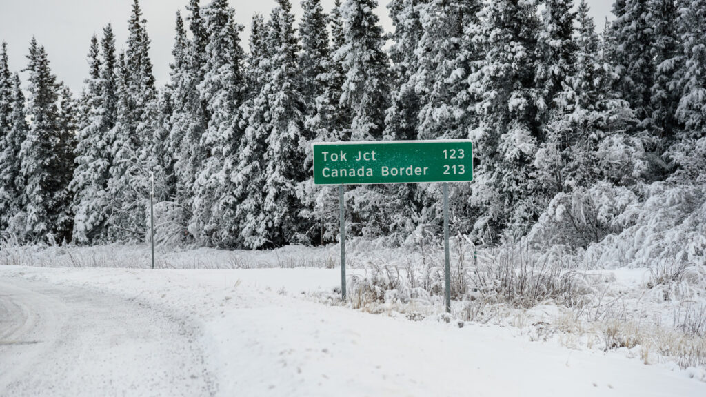
Most of the Alaska-Canada border is straight, running north to south on the 141st meridian. However, the border changes once the boundary reaches the summits of southeastern Alaska, southwestern Yukon, and northwestern British Columbia. The border was supposed to be approximately ten marine leagues (about 31 miles) from the ocean.
However, the United States and Canada interpreted this measurement differently.
The United States believed the measurement should be taken from the heads of the coastal bays, while the Canadians thought the measurement should be taken from the mouths of the bays. Thus, the dispute continued.
How Long Is the U.S. Border With Canada in the Lower 48?
The border between the United States and Canada in the contiguous United States. is just under 4,000 miles long. Therefore, the entire international border between these two countries is about 5,500 miles. Besides Alaska, 12 other states border Canada.
From west to east, they are Washington, Idaho, Montana, North Dakota, Minnesota, Michigan, Ohio, Pennsylvania, New York, Vermont, New Hampshire, and Maine.
Michigan has the longest border with Canada in the Lower 48, about 720 miles. Maine is second, with approximately 600 miles.
Pro Tip: Before you get ready to cross the Canadian border in your RV, here’s what you need to have!
Are the United States and Canada Allies?
The United States and Canada are key allies. The two countries cooperate closely on global security and bilateral defense.
We share the longest international land border in the world, so the efficient flow of goods across the border is essential to both economies. In fact, Canada is our largest trading partner in goods and services.
It’s also essential for Americans and Canadians to easily cross the border, especially since many communities span the border. The United States and Canada also share the Great Lakes and work closely on environmental issues.
Both countries seek equality for everyone, attempting to eliminate racism, gender-based discrimination, and all forms of exclusion.
Will You Visit the Unusal Alaskan Panhandle?
Even though the United States and Canada have positive relations today, there was a period when this wasn’t the case. However, our relationship with our northern neighbor has progressed into a vital partnership over the years.
The anger and frustration over the border dispute in Alaska were aimed more toward Great Britain’s parliament than the United States, anyway.
Today, Americans take cruise ships daily through the Inside Passage of the Alaskan Panhandle and visit popular locations like Ketchikan, Juneau, and Skagway.
We journeyed to one of the largest national parks in the country, Glacier Bay, and learned more about the native cultures of this region through museums, interpretive programs, and tribal arts.
The Alaskan Panhandle is a unique part of the country, known for its fishing communities, limited road systems, Alaska Marine Highway System, and beautiful scenery of fjords, rainforests, and islands.
Will you visit this unusual place the next time you head to the Last Frontier?

